Product successfully added to your shopping cart
There are 0 items in your cart. There is 1 item in your cart.
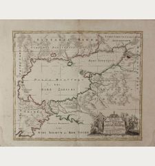
Verus Chersonesi Tauricae Seu Crimea Conspectus ... [and] Theatrum Belli Ao MDCCXXXVII...
Antoine du ChaffatReference 11763
Description
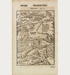
Two very rare maps of Crimea with an explanation sheet.
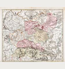
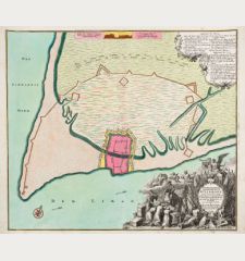
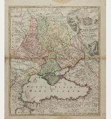
Two old coloured engraved maps of the Russian-Turkish War by Antonie du Chaffat. The maps show parts of the Ukraine, the Black Sea and the Crimea. With military positions and naval associations. On a separate sheet detailed explanations of the marching routes, military camps and the rivers in Latin, French and German.
The maps are based on the maps of Generalfeldmarschall Graf von Münnich and Feldmarschall Lacy and were published by the Russian Academy of Sciences. The maps were reengraved several times, also by Covens & Mortier and Ottens in Amsterdam. The variant of A. du Chaffat appears to be the rarest, probably published in Augsburg. We could locate only a few copies in university libraries.
Details
| Cartographer | Antoine du Chaffat |
| Title | Verus Chersonesi Tauricae Seu Crimea Conspectus ... [and] Theatrum Belli Ao MDCCXXXVII ... [and] Explicatio Duarum Tabularum Geographicarum Aera In Academia Petropolitana ... |
| Publisher, Year | Academy of Sciences, Saint Petersburg, circa 1740 |
| Plate Size | 47.8 x 65.4 cm (18.8 x 25.7 inches) |
| Sheet Size | 52.8 x 68.3 cm (20.8 x 26.9 inches) |
Condition
Cartographer
Images to Download
If you like to download the image of this map with a resolution of 1200 pixels, please follow the link below.
You can use this image for publication on your personal or commercial websites for free if you set a link to this website. If you need photographs with a higher resolution, please contact us.
Ukraine - Chaffat, Antoine du - Verus Chersonesi Tauricae Seu Crimea...

![Antoine du Chaffat: Verus Chersonesi Tauricae Seu Crimea Conspectus ... [and] Theatrum Belli Ao MDCCXXXVII ... [and] Explicatio Duarum Tabularum... Antique Maps, du Chaffat, Ukraine, Russo-Turkish War, Crimea, 1740: Verus Chersonesi Tauricae Seu Crimea Conspectus ... [and] Theatrum Belli Ao MDCCXXXVII ... [and] Explicatio Duarum Tabularum...](https://www.vintage-maps.com/2205-large_default/du-chaffat-ukraine-russo-turkish-war-crimea-1740.jpg)
