Product successfully added to your shopping cart
There are 0 items in your cart. There is 1 item in your cart.
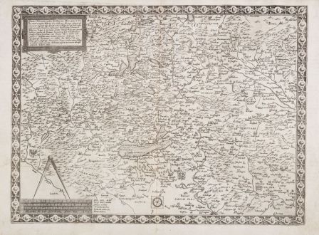
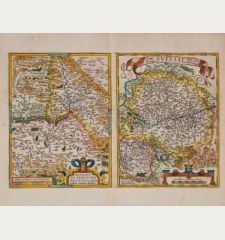
Tractus Rhenanus multos olim Romanus... occupant Helvetij, olim Gall., nunc Alemani
Gerard de Jode (*1509 - †1591)Reference 12613
Description
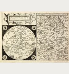
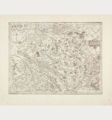
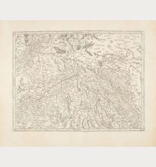
Rare antique regional map around the Lake Constance by Gerard de Jode. The map in southwest orientation shows southwestern Germany, the northern Switzerland and Vorarlberg, with the area between Ulm, Lake Thun, Bern, Basel and Offenburg. With Zurich and the Lake Constance in the centre. Top left a title cartouche, to the lower left a compass and mileage scale with the text line Gerardus de Jode excudebat Anno Do. 1569.
From the rare first edition of Gerard de Jode's atlas Speculum Orbis Terrarum, published in 1578. Identifiable by the pagination and sheet signature XXV-Bb on verso.
Details
| Cartographer | Gerard de Jode |
| Title | Tractus Rhenanus multos olim Romanus... occupant Helvetij, olim Gall., nunc Alemani |
| Publisher, Year | G. de Jode, Antwerp, 1569 (1578) |
| Plate Size | 34.1 x 46.0 cm (13.4 x 18.1 inches) |
| Sheet Size | 39.2 x 54.2 cm (15.4 x 21.3 inches) |
| Reference | Van der Krogt, P.: Koeman's Atlantes Neerlandici, 1120:/1:32, 1st state; Karrow, R. W.: Mapmakers of the Sixteenth Century and their Maps, 79/8.4a; Stopp, K.: Die monumentalen Rheinlaufkarten aus der Blütezeit der Kartographie, No. 3 |
Condition
Cartographer
Images to Download
If you like to download the image of this map with a resolution of 1200 pixels, please follow the link below.
You can use this image for publication on your personal or commercial websites for free if you set a link to this website. If you need photographs with a higher resolution, please contact us.
Switzerland - Jode, Gerard de - Tractus Rhenanus multos olim Romanus......



![[Nova Helvetiae tabula geographica] [Nova Helvetiae tabula geographica]](https://www.vintage-maps.com/3425-home_default/scheuchzer-switzerland-lake-geneva-1720.jpg)

![[ohne Titel] [ohne Titel]](https://www.vintage-maps.com/1915-home_default/muenster-switzerland-fribourg-freiburg-im-ueechtland-1574.jpg)
![[Neuwnburger See] [Neuwnburger See]](https://www.vintage-maps.com/1642-home_default/muenster-switzerland-lake-neuchatel-lac-de-neuchatel-1574.jpg)
