Product successfully added to your shopping cart
There are 0 items in your cart. There is 1 item in your cart.
Total products
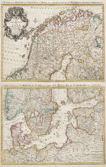
Carte des Courones du Nord / Teatre de la Guerre des Courones du Nord...
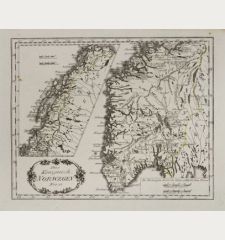
Guillaume de l'Isle (*1675 - †1726)Old coloured map of Scandinavia. Printed in Amsterdam by Covens & Mortier circa 1730.
Reference 12488
Description
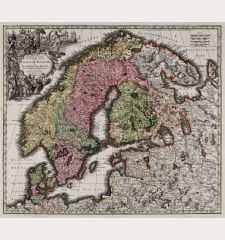
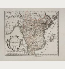
Large antique map of Scandinavia after Guillaume de l'Isle. This is the Covens & Mortier edition of the detailed map. With Norway, Sweden, Finland and Denmark, the Baltic Sea and the Baltic States. Printed on two sheets, not joint. The indicated size refers to one sheet. A splendid title cartouche to the upper left.
Details
| Cartographer | Guillaume de l'Isle |
| Title | Carte des Courones du Nord / Teatre de la Guerre des Courones du Nord... |
| Publisher, Year | Covens & Mortier, Amsterdam, circa 1730 |
| Plate Size | 47.0 x 61.0 cm (18.5 x 24.0 inches) |
| Sheet Size | 53.0 x 63.0 cm (20.9 x 24.8 inches) |
Condition
Centrefold backed in the lower margin. Very good condition with old outline colour. Never framed before.
Cartographer
The de L'Isle family was one of the most influential Geographers of the early 18th century in France. Claude de L'Isle, born 1644, had four sons, of which Guillaume was the most notable. Guillaume was born 1675 and became member of the Académie Royale des Sciences with the age of twenty-seven, and was honoured later with the title Premier Géographe du Roi. His largest project, the Atlas de Géographie, was published until 1774 in Paris and Amsterdam (Covens and Mortier). He died in 1726.
Images to Download
If you like to download the image of this map with a resolution of 1200 pixels, please follow the link below.
You can use this image for publication on your personal or commercial websites for free if you set a link to this website. If you need photographs with a higher resolution, please contact us.
Guillaume de l'Isle: Carte des Courones du Nord / Teatre de la Guerre des Courones du Nord....
Old coloured map of Scandinavia. Printed in Amsterdam by Covens & Mortier circa 1730.
Scandinavia - de l'Isle, Guillaume - Carte des Courones du Nord / Teatre de la...

