Product successfully added to your shopping cart
There are 0 items in your cart. There is 1 item in your cart.
Total products
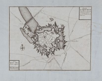
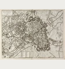
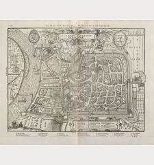
Plan Du Quenoi Ville Forte du Comte d Kainaut Situee proche la Forest de Mormal
Eugene Henri FricxAntique map of Le Quesnoy. Printed in The Hague by Pierre Husson in 1712.
Reference 11247
Description
Rare fortress plan of the town of Le Quesnoy in the north of France.
Details
| Cartographer | Eugene Henri Fricx |
| Title | Plan Du Quenoi Ville Forte du Comte d Kainaut Situee proche la Forest de Mormal |
| Publisher, Year | Pierre Husson, The Hague, 1712 |
| Plate Size | 24.1 x 30.6 cm (9.5 x 12.0 inches) |
| Sheet Size | 35.5 x 53.0 cm (14.0 x 20.9 inches) |
Condition
Old mounted on thin paper, since the map was originally bound into a composite atlas. Very good condition.
Cartographer
Fricx was a bookseller and printer active in Brussels at the beginning of the 1700s. His major work was a large scale plan of Belgium and Luxembourg.
Images to Download
If you like to download the image of this map with a resolution of 1200 pixels, please follow the link below.
You can use this image for publication on your personal or commercial websites for free if you set a link to this website. If you need photographs with a higher resolution, please contact us.
Eugene Henri Fricx: Plan Du Quenoi Ville Forte du Comte d Kainaut Situee proche la Forest de Mormal.
Antique map of Le Quesnoy. Printed in The Hague by Pierre Husson in 1712.
France - Fricx, Eugene Henri - Plan Du Quenoi Ville Forte du Comte d...


