Product successfully added to your shopping cart
There are 0 items in your cart. There is 1 item in your cart.
Total products
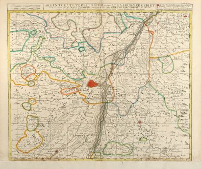
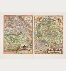
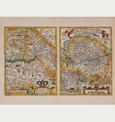
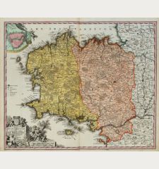
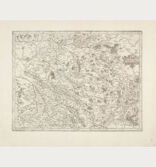
Argentorati Territorium, vulgo Strasburger Gebiet
Carel Allard (*1648 - †1709)Coloured map of Strasbourg, Alsace. Printed in Amsterdam by C. Allard circa 1700.
Reference 10495
Description
Rare and detailed coloured map of the area around Strasbourg from C. Allard. Showing Strasbourg with surroundings, especially the course of River Rhine is highly detailed.
Details
| Cartographer | Carel Allard |
| Title | Argentorati Territorium, vulgo Strasburger Gebiet |
| Publisher, Year | C. Allard, Amsterdam, circa 1700 |
| Plate Size | 49.8 x 58.2 cm (19.6 x 22.9 inches) |
| Sheet Size | 55.0 x 64.5 cm (21.7 x 25.4 inches) |
Condition
Lower margin trimmed to plate and remargined, some waterstaining in tower margin.
Cartographer
Hugh Allard and his son Carel were map and atlas publishers in the second half of seventeenth century in Amsterdam. The maps mainly based on those of J. Blaeu, N. Visscher, J. Janssonius and F. de Wit.
Images to Download
If you like to download the image of this map with a resolution of 1200 pixels, please follow the link below.
You can use this image for publication on your personal or commercial websites for free if you set a link to this website. If you need photographs with a higher resolution, please contact us.
Carel Allard: Argentorati Territorium, vulgo Strasburger Gebiet.
Coloured map of Strasbourg, Alsace. Printed in Amsterdam by C. Allard circa 1700.
France - Allard, Carel - Argentorati Territorium, vulgo Strasburger...


