Product successfully added to your shopping cart
There are 0 items in your cart. There is 1 item in your cart.
Lithuania
Gerard Mercator (*1512 - †1594)Reference 12877
Description
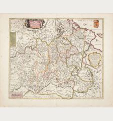
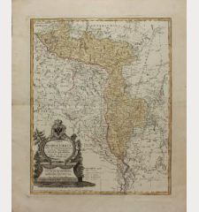
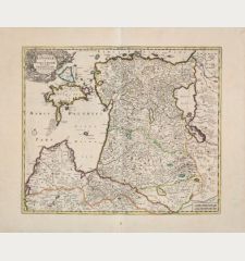
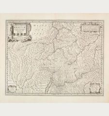
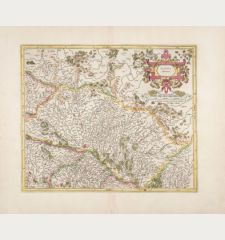
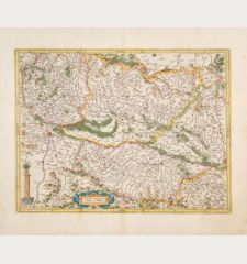
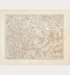
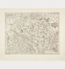
Beautiful coloured antique map of Lithuania by Gerard Mercator. This is the first large format map exclusively dedicated to Lithuania, created by Mercator and published by Jodocus Hondius. It extends its coverage to encompass sections of Poland, Prussia, Ukraine, and Belarus. Notably, Gerardus Mercator's name is featured as the mapmaker on this particular map.
From the French edition of the Mercator-Hondius Atlas of 1633. French text on verso.
Details
| Cartographer | Gerard Mercator |
| Title | Lithuania |
| Publisher, Year | H. Hondius, Amsterdam, 1633 |
| Plate Size | 37.2 x 43.4 cm (14.6 x 17.1 inches) |
| Sheet Size | 48.0 x 56.4 cm (18.9 x 22.2 inches) |
| Reference | Van der Krogt, P.: Koeman's Atlantes Neerlandici, 1730:1A. |
Condition
Cartographer
Images to Download
If you like to download the image of this map with a resolution of 1200 pixels, please follow the link below.
You can use this image for publication on your personal or commercial websites for free if you set a link to this website. If you need photographs with a higher resolution, please contact us.


