Product successfully added to your shopping cart
There are 0 items in your cart. There is 1 item in your cart.
Total products
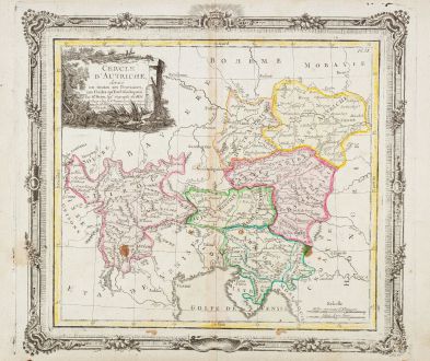
Cercle d'Autriche
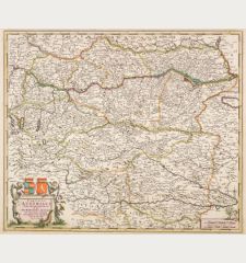
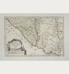
Louis Brion de la Tour (*1756 - †1803)Coloured map of Austria - Hungary. Printed in Paris by Desnos in 1766.
Reference 12679
Description
Antique map of Austria by Louis Brion de la Tour. Showing the area between Lake Constance with Bregenz in the northwest, large parts of Croatia in the southeast via Vienna and Pressburg (Bratislava) in the east. With a beautiful frame in rococo style.
Details
| Cartographer | Louis Brion de la Tour |
| Title | Cercle d'Autriche |
| Publisher, Year | Desnos, Paris, 1766 |
| Plate Size | 27.8 x 30.6 cm (10.9 x 12.0 inches) |
| Sheet Size | 29.0 x 40.0 cm (11.4 x 15.7 inches) |
Condition
Several brown spots. Very good condition.
Cartographer
Brion de la Tour was an Engineer and also published several atlases during the second half of 18th century in Paris.
Images to Download
If you like to download the image of this map with a resolution of 1200 pixels, please follow the link below.
You can use this image for publication on your personal or commercial websites for free if you set a link to this website. If you need photographs with a higher resolution, please contact us.
Louis Brion de la Tour: Cercle d'Autriche.
Coloured map of Austria - Hungary. Printed in Paris by Desnos in 1766.
Austria - Hungary - Brion de la Tour, Louis - Cercle d'Autriche


