Product successfully added to your shopping cart
There are 0 items in your cart. There is 1 item in your cart.
Total products

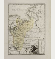
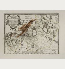
Das gantze Russische Kaeyserthum mit allen seinen Laendern verfertiget von J. G....
Johann Georg Schreiber (*1676 - †1745)Old coloured map of Russia. Printed in Leipzig in the year 1749.
Reference 10938
Description
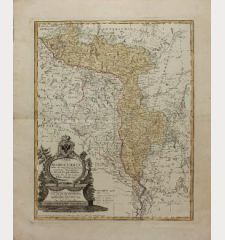
Small scale map of Russia by J. G. Schreiber, from his Atlas Selectus in 1749, first published in 1740. Showing the area between Reval, Novaja Semlja, Japan and the Persian Gulf. Decorated with a nice figural cartouche and two sailing ships.
Details
| Cartographer | Johann Georg Schreiber |
| Title | Das gantze Russische Kaeyserthum mit allen seinen Laendern verfertiget von J. G. Schreibern in Leipzig |
| Publisher, Year | Leipzig, 1749 |
| Plate Size | 16.5 x 25.0 cm (6.5 x 9.8 inches) |
| Sheet Size | 20.8 x 29.0 cm (8.2 x 11.4 inches) |
Condition
Very good condition.
Cartographer
Johann Georg Schreiber, a German cartographer and geographer, was born 1676 and lived in Leipzig. His only work was the Atlas Selectus published first 1740 and reissued 1749. He died in 1745.
Images to Download
If you like to download the image of this map with a resolution of 1200 pixels, please follow the link below.
You can use this image for publication on your personal or commercial websites for free if you set a link to this website. If you need photographs with a higher resolution, please contact us.
Johann Georg Schreiber: Das gantze Russische Kaeyserthum mit allen seinen Laendern verfertiget von J. G. Schreibern in Leipzig.
Old coloured map of Russia. Printed in Leipzig in the year 1749.
Russia - Schreiber, Johann Georg - Das gantze Russische Kaeyserthum mit allen...

![Verus Chersonesi Tauricae Seu Crimea Conspectus ... [and] Theatrum Belli Ao MDCCXXXVII ... [and] Explicatio Duarum Tabularum... Verus Chersonesi Tauricae Seu Crimea Conspectus ... [and] Theatrum Belli Ao MDCCXXXVII ... [and] Explicatio Duarum Tabularum...](https://www.vintage-maps.com/2205-home_default/du-chaffat-ukraine-russo-turkish-war-crimea-1740.jpg)
